With the dog days of summer behind us and fall fast approaching we took advantage of the beautiful weather and decided to explore the Nashua and the Squannacook Rivers. Our journey began at Nashoba Paddler where we had scheduled appointment with the owner. (Note that after Labor Day you must schedule an appointment)
After paying for three hours in two old town kayaks we launched into the calm waters of the Nashua River and began our journey south towards the confluence of the Nashua and Squannacook rivers. Like most New England water ways the low the water levels were very noticeable. In addition to the low water levels the river was littered with downed trees many of which jutted out into the river.
If you are looking for excitement then this isn’t the river for you. If you are looking for a relaxing peaceful paddle down a lazy river then check it out. There wasn’t much to see along the river since it is flanked by conservation land and the Groton Town Forest with the exception of the Groton School Boathouse and a few bridges.
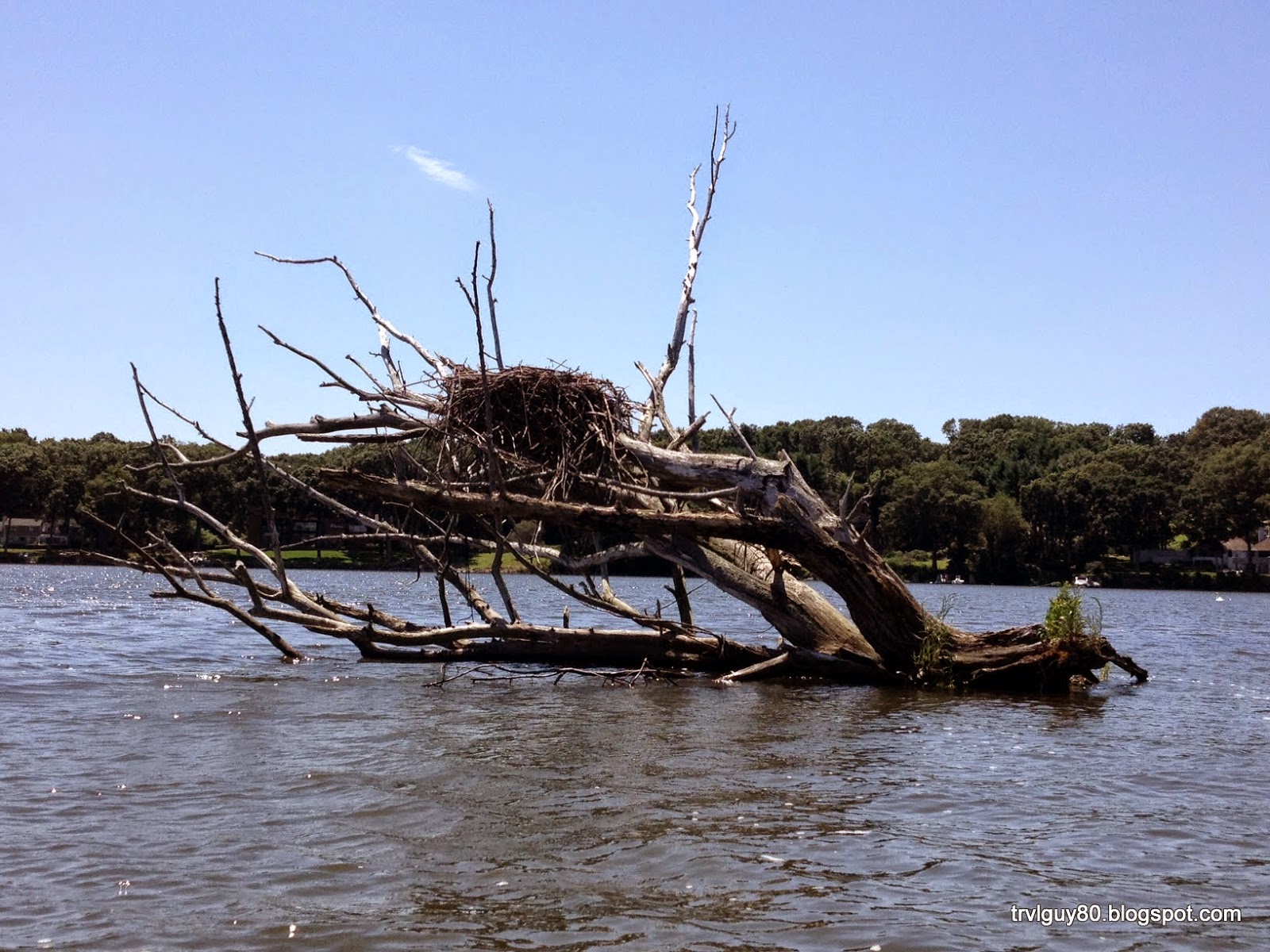
Along the river we saw a few fish and even fewer birds. We did get a treat and saw a huge snapper turtle with a shell that probably measured a good 14 inches. Sadly I couldn’t get a good picture of him since he quickly hid in the plant life at the bottom of the river.
 Next, we stopped at the abandoned rail bridge and climbed up to get a different perspective of the river. The bridge was still structurally sound but showing its many years of neglect. It is a testament to the old days of transportation.
Just around the bend from the rail bridge was the confluence of the two rivers. The owner of Nashoba Paddler told us that if we explored the Squannacook River we would see nests (piles of river rock) built by the freshwater eels. It was interesting to see these nests and even more of a mystery of how they built them. While we didn’t see any eels we certainly did see lots of their handy work. Unfortunately the Squannacook river was barely passable from the start and with the fallen trees we didn’t manage to make it very far.
We continued a little farther down the river until we reached the Route 2A overpass. Having travelled a little more than 3 miles and 1.5 hours down the river we decided our hunger was getting the better of us and we would head back.
Our return trip was somewhat quicker since we made no stops or detours and we were travelling with the current. Overall it was a good day but I am not sure I would return. I thought that the price of 88$ for two people for 3 hours was steep for a river that lacked anything really interesting and equipment that was average at best. My kayak seat was damaged and could not be adjusted. Unfortunately I didn’t discover that until we were a mile down the river. We also returned to find no one at the shop and we were left padlocks to secure the kayaks. While we expected that since she had said she may not be there we didn’t like the responsibility of having to secure the kayaks and leaving the other equipment unsecured.


.JPG)

.JPG)


.JPG)


